| Introduction |
The Earth is a dynamic system that undergoes spatial and temporal changes in response to natural and human induced forces. In the Polar Regions such changes are amplified, making these regions particularly suitable to study and to understand processes operating in the Earth system.
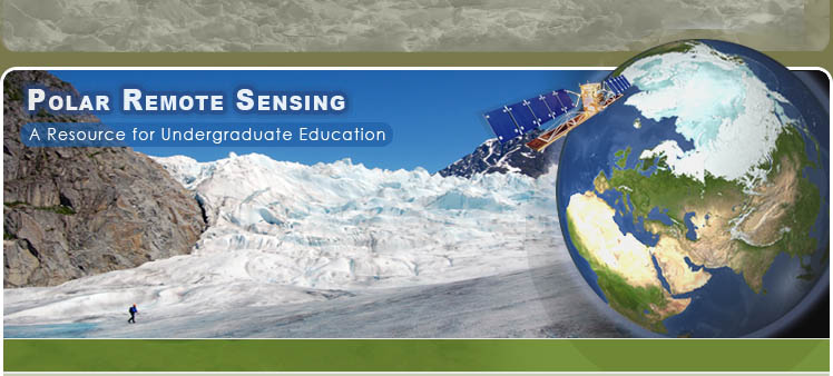
The Polar Regions, by virtue of their location, are remote and often inaccessible. Field based investigations of the entire Polar Region are very difficult, if not impossible. Satellite remote sensing provides a low cost solution to obtain excellent coverage of the Polar Regions from a vantage point in space.By using remote sensing data and techniques it is now possible to investigate the high latitude regions in a way that was inconceivable even a few decades ago.
International Polar Year (2007-2009)
The year 2007 marks the 125th anniversary of the initial International Polar Year (IPY) and the 50th anniversary of the International Geophysical Year (Read more at the official IPY website. Some important questions for IPY are:
- How are the Polar Regions themselves changing as they affect the global Earth system?
- How are the Polar Regions responding to natural and human-induced changes?
- What are the consequences of changes in the polar regions for human civilization?
- What are the important solar events that may affect life and climate on Earth, as addressed by the concurrent plan of the International Heliospherical Year 2007 (IHY)?
- How well can we project future changes?
The case studies presented in
this resource provide glimpses of polar features and processes and are
particularly geared for post-secondary education in IPY and beyond.
| Polar RS Case Studies |
The case study currently included
in this resource is:

