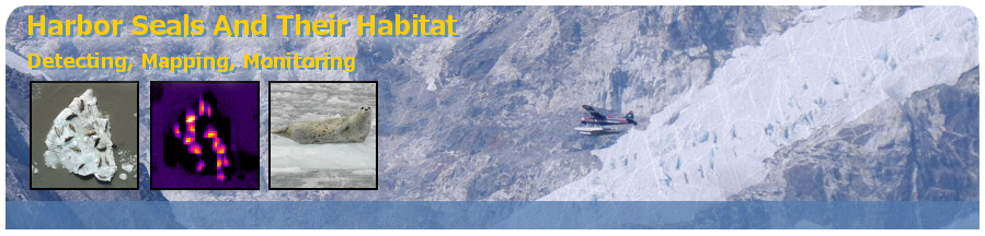
Airborne images were collected using a Beaver aircraft on floats with a vertically mounted Nikon D2X optical camera and 60 mm lens. Flying at a low altitude of 1000 ft a high resolution 3216 x 2136 pixel digital image from this camera covers an area of 80 x 120 m, providing sufficient detail to identify and map individual seals using visual interpretation. Harbor seals are mapped and counted in a Geographic Information System (GIS). The photos are non-overlapping with a 15 to 20 m gap between photos to eliminate the possibility of counting the same seal twice. The transects cover ~48 % of Johns Hopkins Inlet.
In 2013, on an experimental basis, the project team also mounted a Forward Looking Infrared (FLIR) camera system alongside the optical camera and acquired continuous (overlapping) images along a flight line.
 |
|
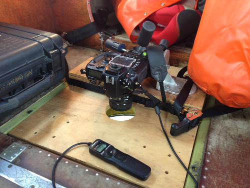
A simple camera mount in the Beaver aircraft.
Photo by Jamie Womble, NPS.
|