Objectives
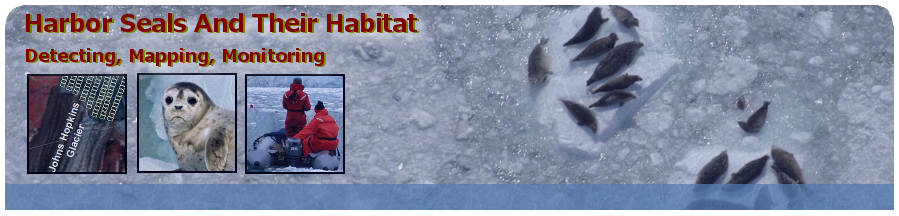
The goal of this research is to assess the relationship between glacial ice availability and harbor seal spatial distribution and abundance in John Hopkins Inlet using an 8-year (2007-2014) time-series of digital imagery of ice cover and harbor seals.
The specific objectives are to:
- Develop and apply automated processing methods to classify aerial photos and to quantify percent ice cover, brash ice, open water, iceberg size, and ice block angularity.
- Conduct an accuracy assessment of classified image products.
- Use the derived ice class co-variates and seal location information data to determine the relationship between seal density and glacial ice availability/properties.
- Investigate seasonal and annual trends in ice cover and characteristics from 2007-2014 period.