|
|
Photo Gallery
| |
 |
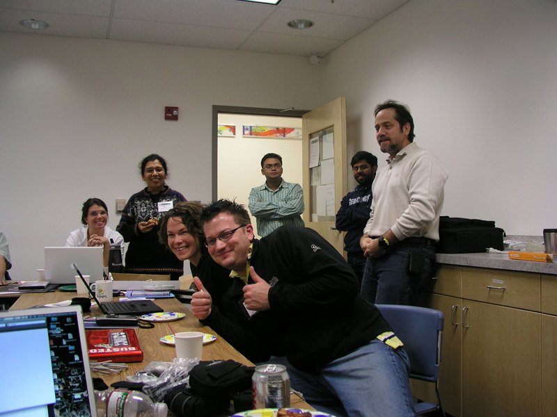
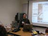
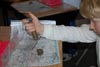
Justin gives a 'Double Thumbs Up' for the geoscience concept presentations by all the scientists. |
 | Rudiger Gens takes the participants infront of the Geophysical Institute for a hands-on training on the use of GPS units. |
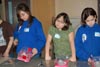
 | Participants record their first 'way point' location on a lovely summer afternoon in Fairbanks, Alaska. |
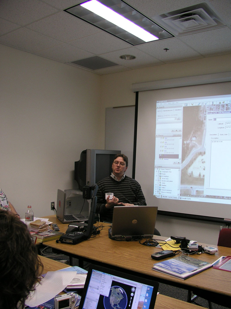
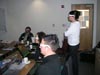
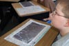
 | Back in the building, Dr. Gens introduces 'geospatial data' and helps participant plot their GPS locations on Goggle Earth. |
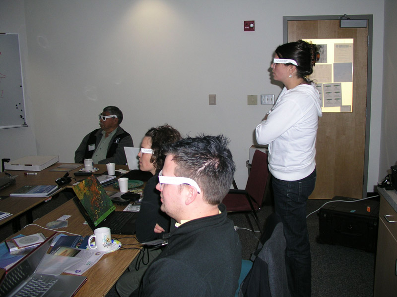
 | Introducing the participants to the power of 3-D for geoscience data visualization. |
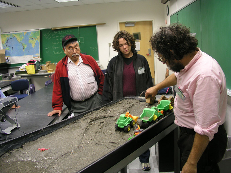
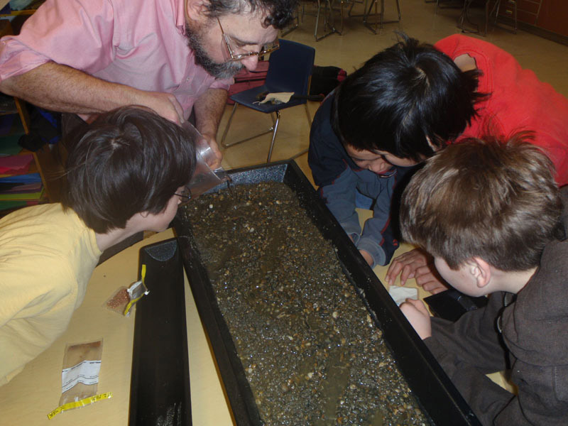
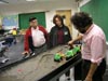 | Rainer Newberry uses a stream table to demonstrate surface water movement and sediment transport. |
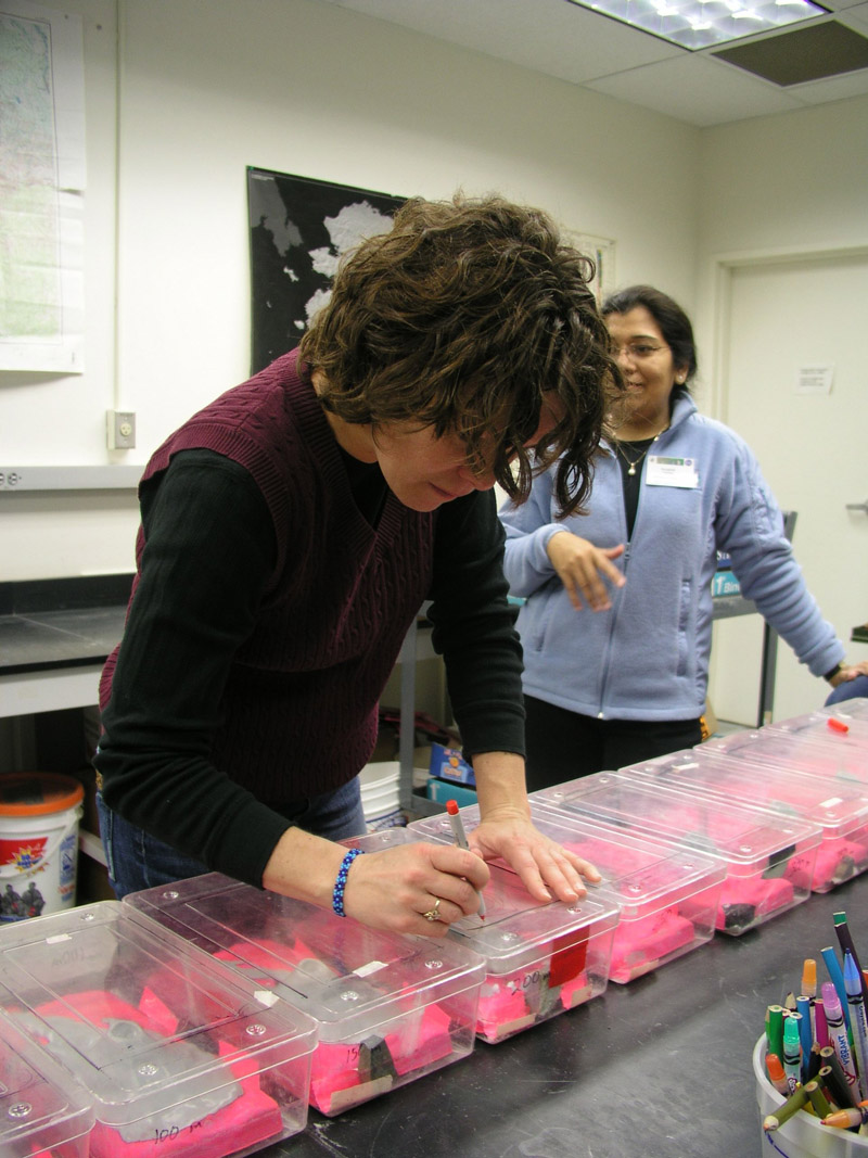
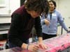 | Lisa Leeper carefully draws contour lines and learns about topogrpahic mapping. |
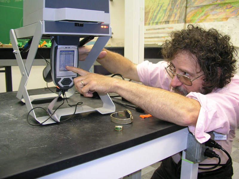
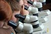
 | Rainer reads out the results of a quick X-Ray Fluoresence (XRF) analysis carried out on a ring that Francis thought was made of 'pure' gold. |
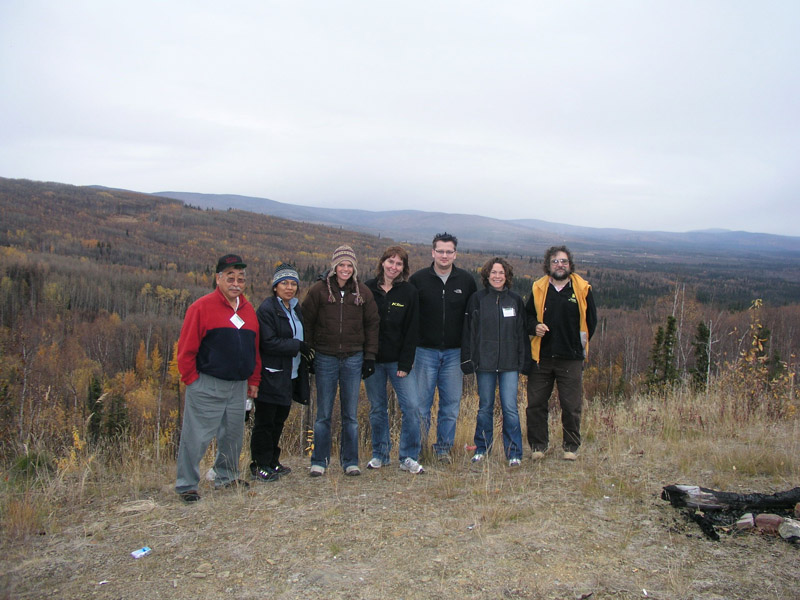
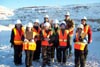
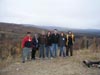 | Group photo near the Ester mine, Alaska. Cold and rainy - no problems. We do not let weather come in the way of a field trip. |
| |
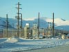 |
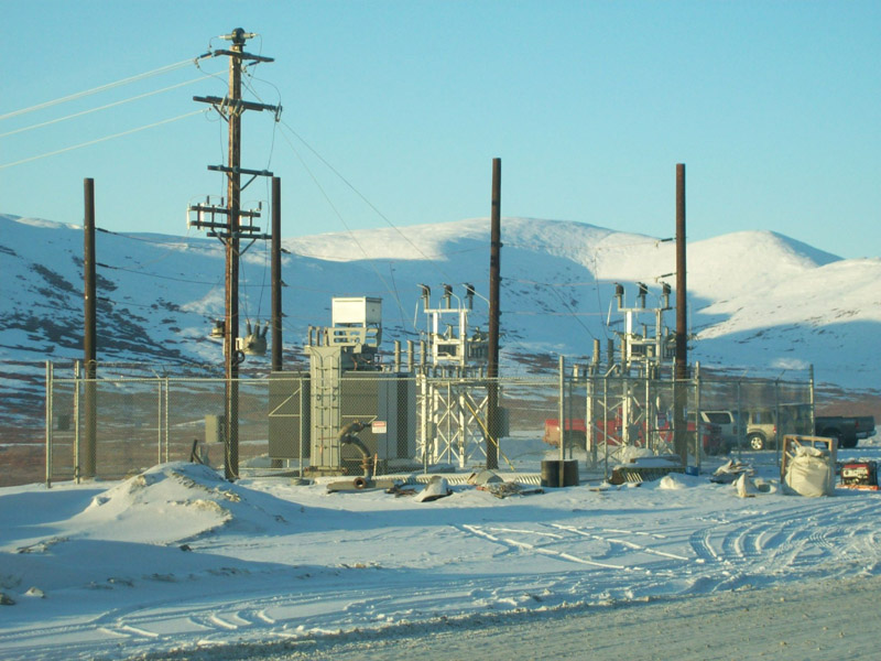
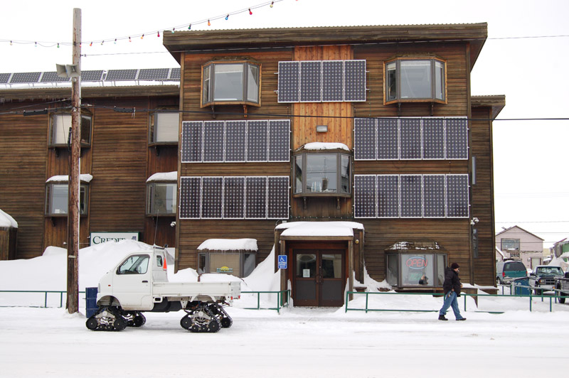
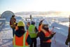
Overview of the Rock Creek Mine site infrastructure in Nome, Alaska. |
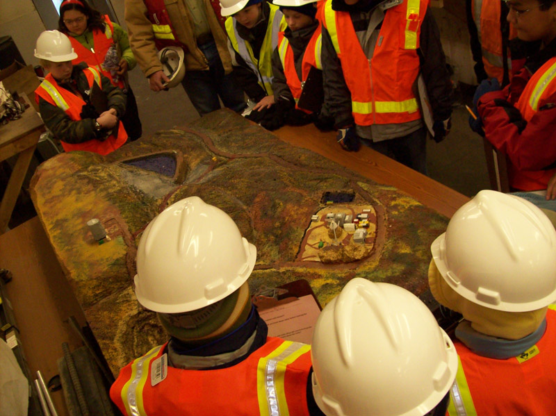
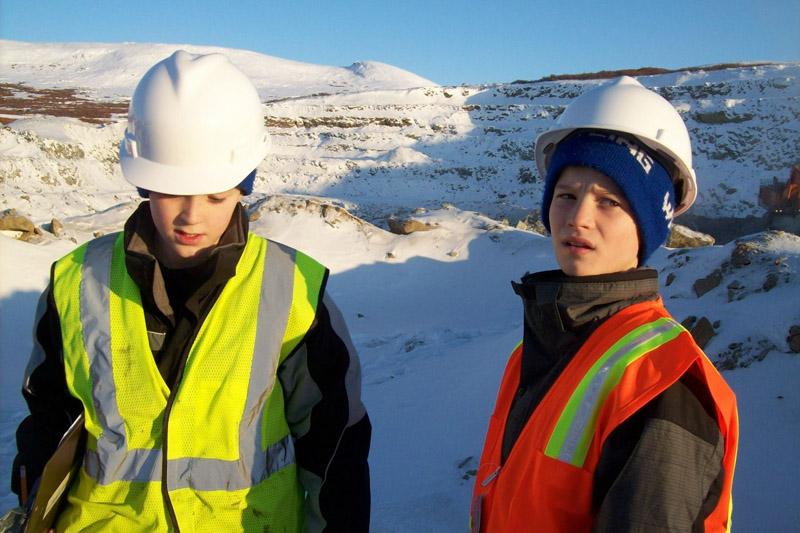
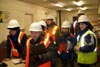
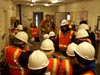 | Children dressed in reflecting vests and hard hats, first learn of mining safety regulations . |
 | With the help of a model they learn about the entire gold mining operation. |
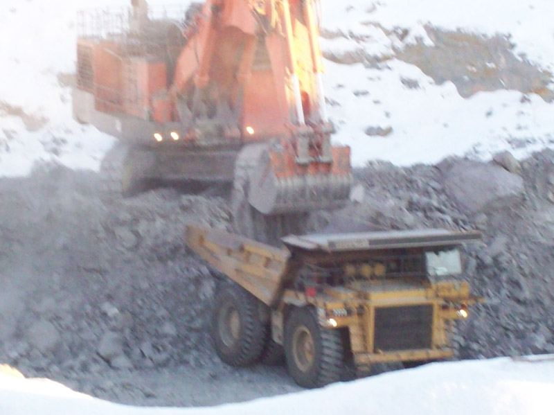
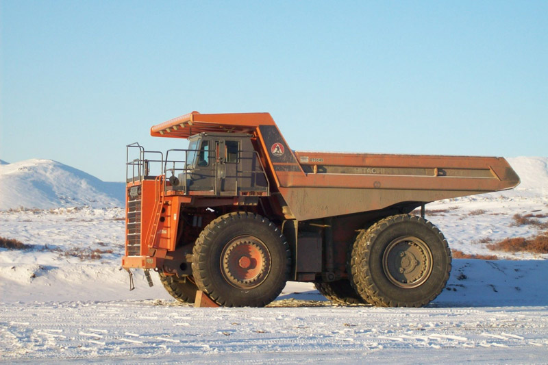
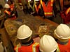
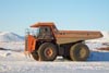
 | Heavy machines in operation at the mine site. It is important to know what it takes to get to the final prize. |
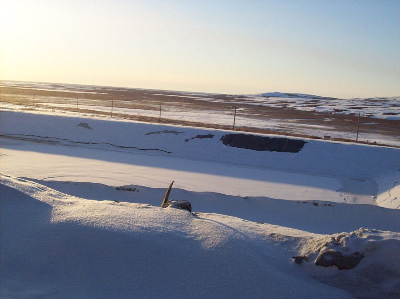
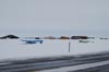
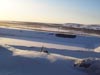 | On way to the mine site. Vast wilderness is common, despite being close to the western hub of the State of Alaska. |
 | Children come prepared to learn and take detail notes to later use in their digital stories. |
 | Reflective thinking in the fresh open landscape of Alaska. |
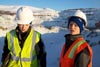
 | Mining is the economic base for the local population. Alaska has a growing need for teachnical and non-technical workforce. |
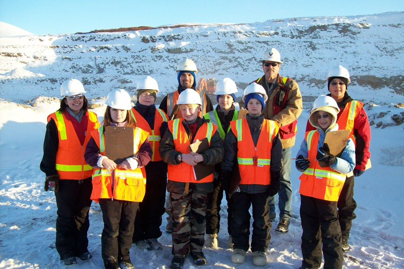
 | A very happy group of students pose for a photograph with the mining experts. |
 | Location is so important. Students record their location using a GPS and a local map projection system. |
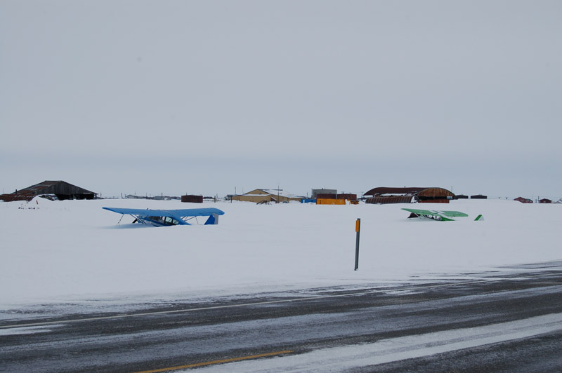
 | Transportation is a challenge in Alaska!! |
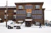 | We work hard to reduce our energy bills. Also we improvise and adapt (notice the wheels of the truck in the foreground). |
| |
 |
Learning about map projections, topographic sheets, aerial photo interpretation, and the advantage of using many information sources. |
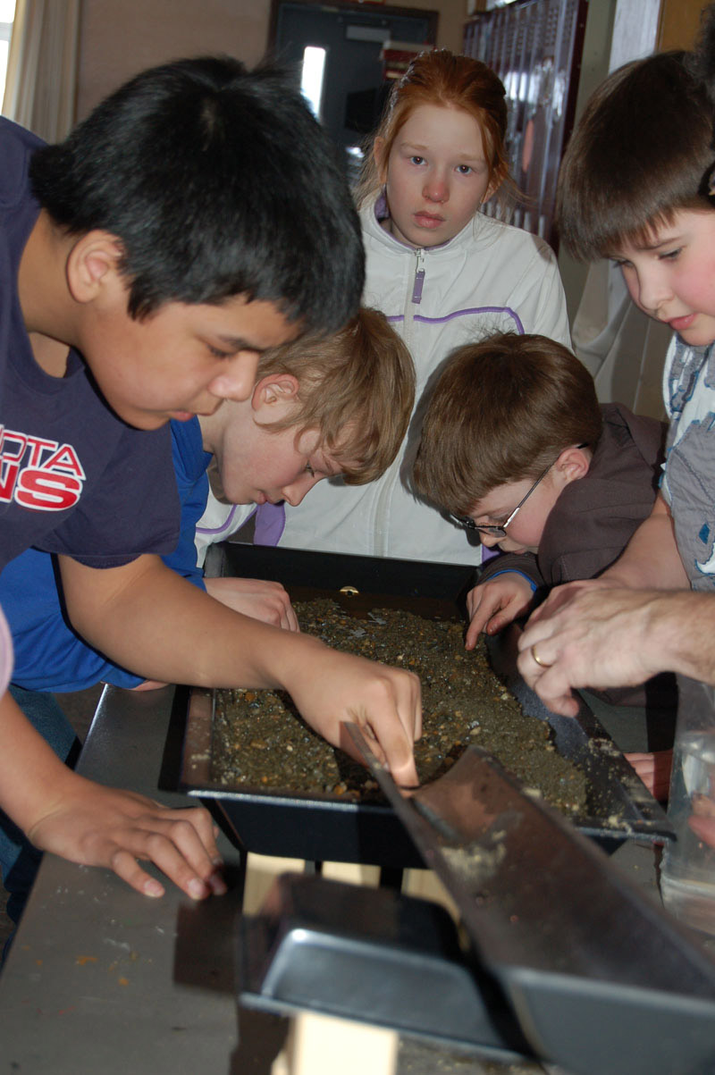
 | So - do the heavy mineral really settle down? Let's test it out. |
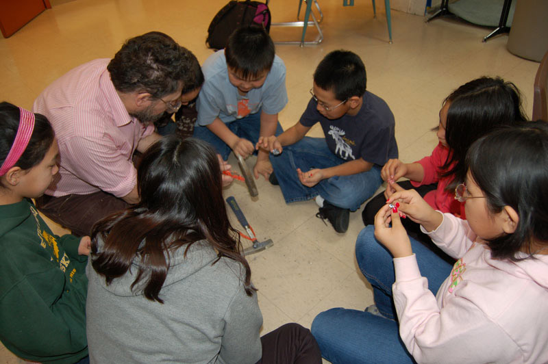
 | Brittle and ductile materials do behave very differently. We now understand more obout weathering than ever before. |
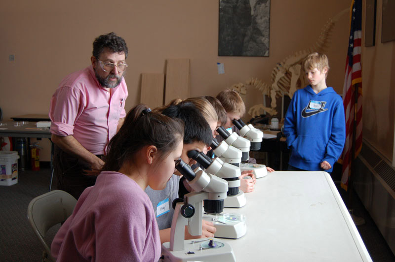
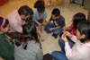
 | Rainer working one-on-one with students, giving every child the oportunity to explore. |
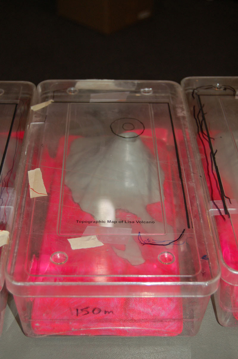
 | Sea level shown in flourescent PINK!! Hmm - Bizarre - but COOl. And we get the point. |
 | So that's how gold got travelled long distances. |
 | We had seen hiilly areas and some of us had seen topgraphic maps. But now we can make the connection. |
 | We can even spot the gold. |
 |
We just can't have enough. The shape of our rivers now make more sense after this demonstration. |
 |
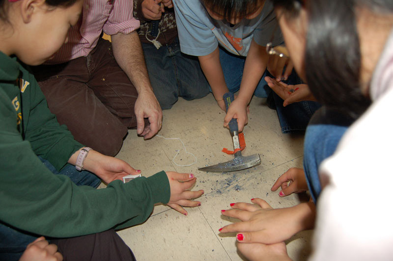
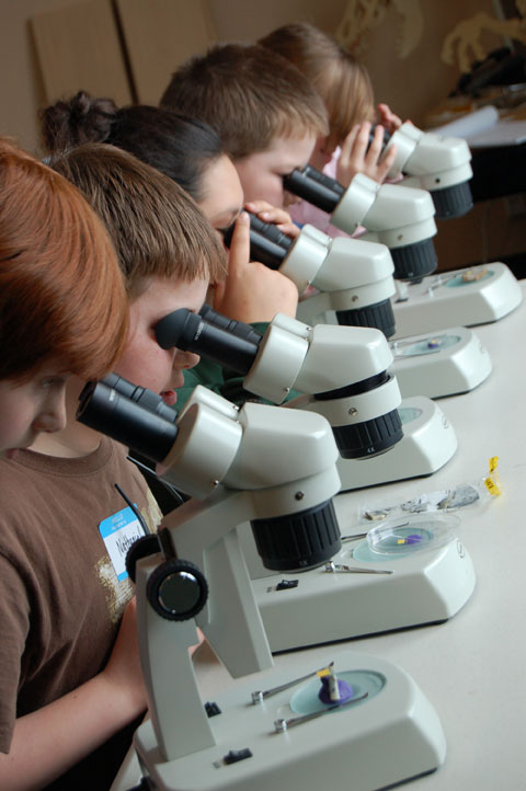
A closer look reaveals a lot more. |
 |
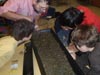
Rainer is so good at explaining the details of what we see. Every rock, every particle has its owns story. |
| |
 |
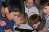
Jason Ohler explains on what it takes to build a good story. |
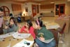
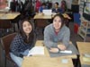 | We are enjoying being a part of this project. |
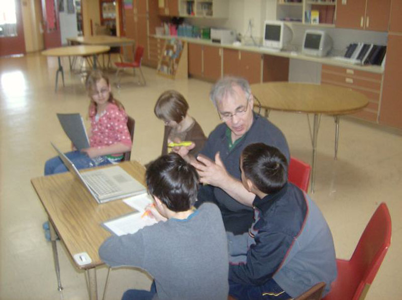
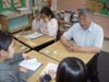 | Francis shares his experience with the children. Coming from the same region and cuture, children naturally relate to him. |
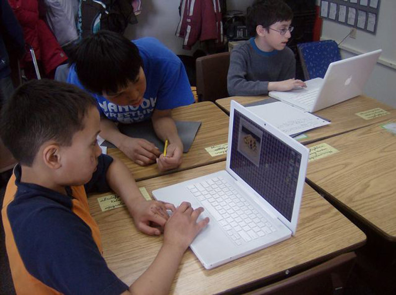
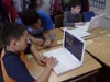 | We get to include technology too. I can definitely handle this. |
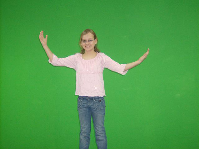
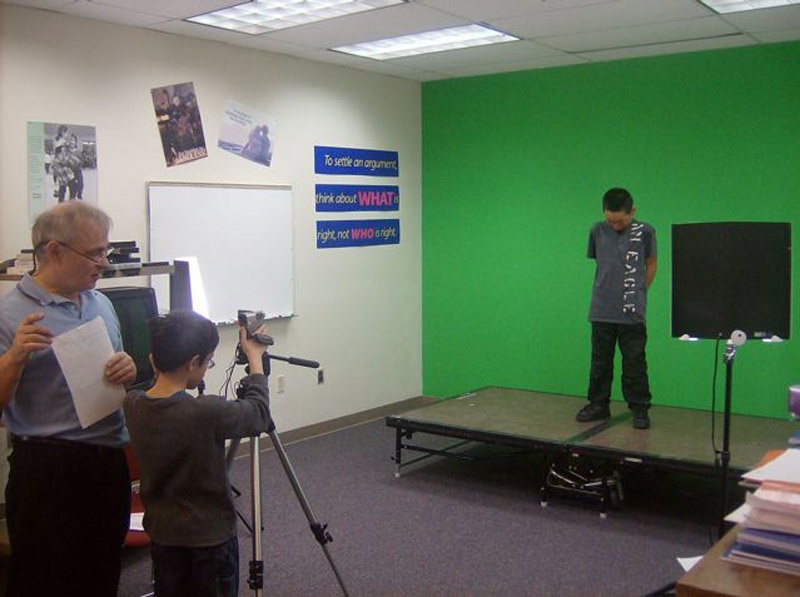
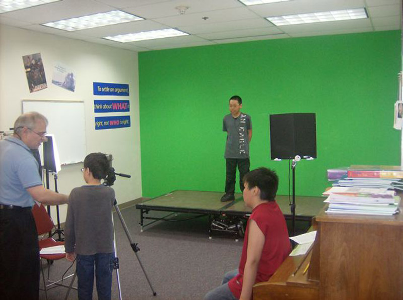
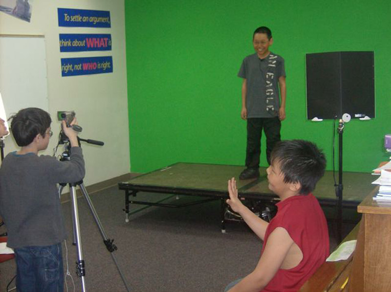
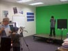
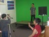
 | In front of the green screen. That's how they do the weather reports on the news too. |
 | It's my chance to tell my story now. |
 | Children as writers, actors, camera operators, producers, and directors. |
 | We appreciate your help Jason. The learning curve here is steep! |
 | Together we can make this happen. |
|